|
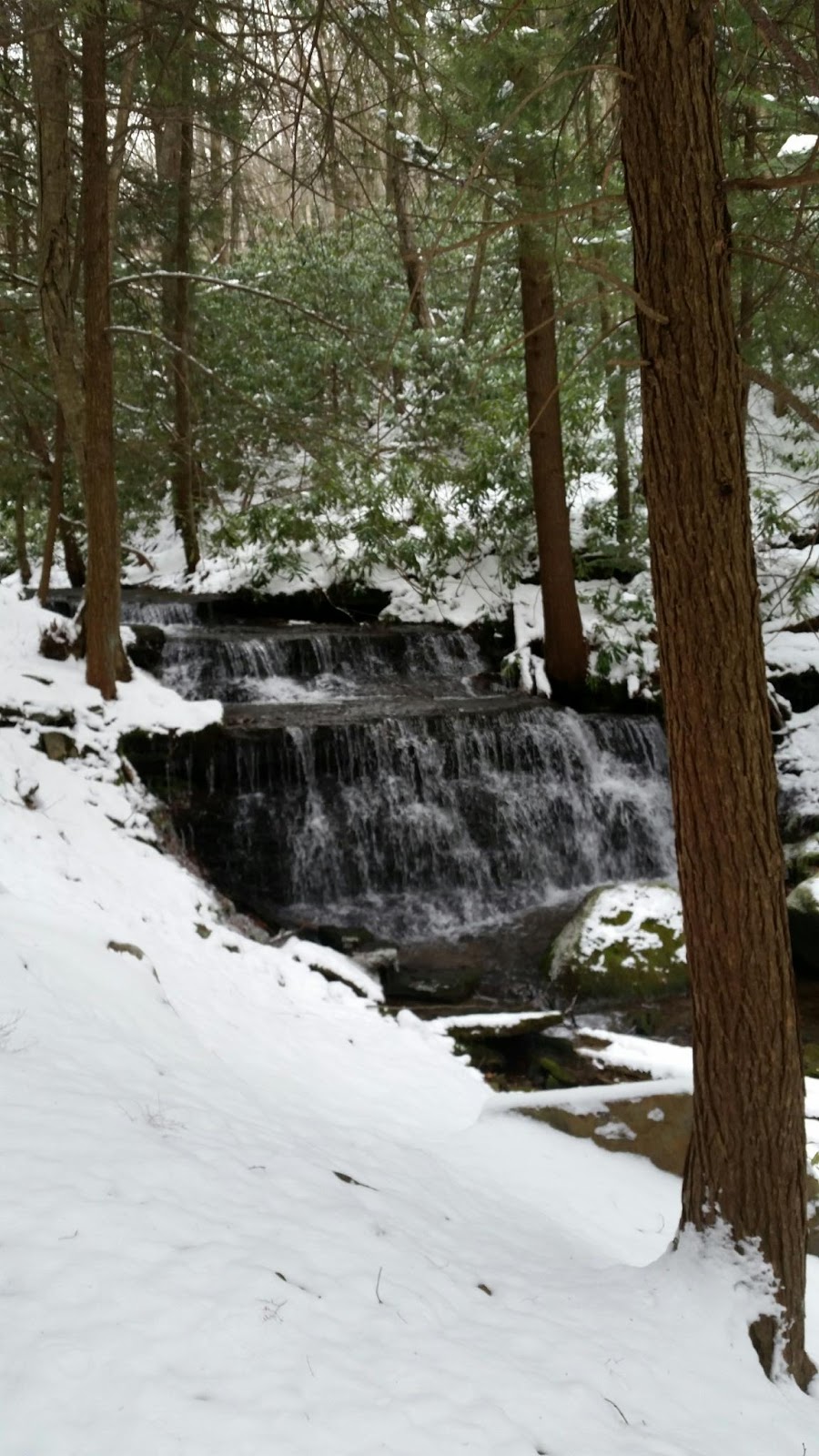
| View from one of the bridges towards a spring. Jeannie Peters (c) 2014 |
A great post-Christmas hike on December 27, 2014. We wanted to go somewhere that was easy to access, quick to get to, and doable for our group that included a 15 month and 4 year old, as well as a 9 year old and 12 year old and 6 fit adults.
Walnut Springs Park was a great choice because it is located just off the end of Easterly Parkway in State College. The trails are well maintained thanks to local Boy Scout Troop 83. It is flat and includes many interesting things to see that help keep the little ones interested.
This is a great trail any time of year, however it can get muddy at times due to wet or damp conditions and high use. There are several bridges to cross, several strategically placed benches to sit and enjoy the view, as well as a lookout for observing wildlife.
A plant survey was competed in 2007 and can be found on the
CRPR website.
2007 Plant Survey There are a wide variety of trees, shrubs, vines and ferns. The namesake Black Walnut Trees are ubiquitous. Watch your footing in the fall when they drop their nuts. The tennis ball sized walnuts are covered in a thick green skin and are easy to roll an ankle on. They also feed the park's many animal visitors, chipmunks, deer and squirrels. Look up as you walk through the park and you are likely to see squirrels and chipmunks racing through the tree branches. If you sit a while on one of the benches along the creek you may hear or see a woodpecker. Their tap, tap, tapping on dead and dying trees is a ploy to get to the insects that live in them.
Do be careful at all times of the year and stay on the trail. Staying on the trail is one way to preserve the beautiful wilderness for others, and one of the principles of Front Country Leave No Trace. It also ensures that you are less likely to experience one of the downsides of getting out in the wilderness, Poison Ivy. Poison Ivy has 3 shiny leaves and generally creeps along the ground. However, there is a climbing variety as well, that tends to be more potent. Virginia Creeper is another (non-poisonous) vine and can be identified by its 5 leaves.
Walnut Springs is an urban wetland, and of great ecological value. As you walk the trail you will saunter past two of the Springs. There are benches conveniently near them so you can stop and rest weary feet. At the top of the park (the end nearest to University Drive) you will see that the park actually is a settlement basin for the runoff from Easterly Parkway. Look closely and you will see the culvert where the rainwater comes out and depending on the time of year, and recent rainfall, you can follow the truck tracks to the creek bed. You can see where the sediments (road salt, gravel, and litter) settle out before the water is allowed to pass into the watershed. In at least two locations you can see the cement walls with boards in between them to control the flow of water. This helps with flood control at the downstream location and with settlement at the upstream one.
From Route 26 (East College Avenue in State College, PA) take University Drive south to Easterly Parkway. Turn Left onto Walnut Spring Lane. Drive to the end and park in the parking lot. From the Parking Lot, take the Gravel path on the left, down the hill. Continue on the path to the second intersection. There is a sign telling you that if you continue straight, you will enter Thompson's Woods Preserve. Turn left here and go across the Stream on the bridge. Bear around to the left and follow the path upstream past the flood control area. You will come to a turn off on your left, you can either cross the stream again and continue upstream, or turn back. If you continue upstream (on either side of the stream) you will come to a spring, an area where water seeps out of the Earth. Stop and watch for a while, listen to the birds, watch the water flow and think about how lucky we are to have this urban wilderness. When you get to University Drive, cross to the other side of the park to explore the side you haven't walked yet, or take Walnut Spring Lane back to the parking lot and your car. If you take the trails back (in either a circle, figure 8 or out and back, watch for the sign to turn right and back up the gravel path to the parking lot. If you find yourself in an area that is more field like, or under power lines, you have entered Thompson's Woods preserve, you can follow the power lines back to your car. Watch your step, someone walks their dog along this path and apparently feels that it is sufficiently "wild" that they don't have to clean up afterwards.
PLEASE! if you bring your animal, follow the park rules, (and Leave No Trace Guidelines) and clean up after your pet. It is the most considerate thing you can do so that others can enjoy the area as much as you have. In addition, the park provides baggies for picking up after your dog. Just grab a couple from the dispenser at the entrance to the park.
When you return to your car, have a drink of water and a light snack, you've been in the woods hiking for a while!